The sky is
splotched with specks of clouds


Hike level: Moderate
Location: Coos County, NH
Driving distance from Boston: About 3 hours
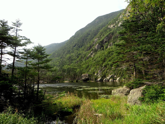
Description: This 9.8 mile loop hike starts on the Nineteen Mile Brook trail via the Appalachian Trail over the summit of Carter Dome (4832 ft; NH48) and Mt Hight (4675 ft; 52WAV). You can take a break at the AMC Carter Notch hut along the way, then head up the Carter-Moriah Trail over the summit of Mount Hight to Zeta pass, then pick up the Carter Dome Trail and loop back to Nineteen Mile Brook Trail. The elevation gain is 3609 ft. The summit of Carter Dome only has a partial view, but there is a glorious 360 view from Mount Hight (which is not a NH48).
I’ve got my
trusty pack
filled, as
always with ibuprofen
and a lot of
tasty snacks
A Suessian assortment
of ‘shrooms
fills the
forest bed
(Below spruce-wooded
shoulders)
because of a
wet summer, he said
The summit
views are cast in haze
looking
beautiful, but duller
edges
running into edges
reminding me
of a watercolor
On the way
home, with us three
the conversation
flows
It’s later
than any of us would like
but the magic of the day still glows


Hike level: Moderate
Location: Coos County, NH
Driving distance from Boston: About 3 hours
Cost: FREE to hike
Comments
Post a Comment